Just a quick suggestion: follow NASA on twitter. Today, scientists from its IceBridge mission embarked on an 11-hour flight over West Antarctica, and they live-tweeted the whole thing. With pics and a Q+A session to boot.
IceBridge is the largest survey of Earth’s polar ice cover ever attempted. According to NASA, over six years, it will “yield an unprecedented three-dimensional view of Arctic and Antarctic ice sheets, ice shelves and sea ice” and will “provide a yearly, multi-instrument look at the behavior of the rapidly changing features of the Greenland and Antarctic ice.”
Videos by VICE
In addition to satellite monitoring from the aptly named ICE, that means plane-based missions, too. Like today’s trip to the Ronne Ice Shelf.
This is our longest transit flight so far this year to our target: the Ronne Ice Shelf grounding line. pic.twitter.com/WOskKxBQ
They started early.
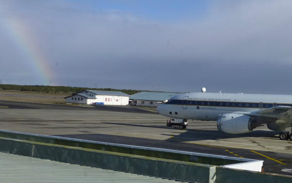
A great day for a flight — and a rainbow! — this morning at the Punta Arenas airport. Here’s the NASA DC-8. pic.twitter.com/QpM6pwuK
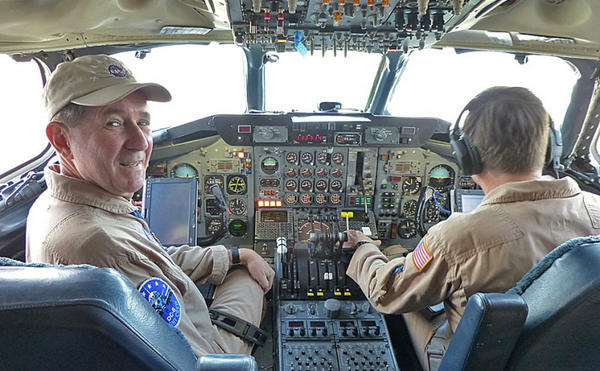
Meet the crew.
We are on our way to Antarctica! Left Punta Arenas at 8:08 ET, thanks to these guys — NASA DC-8 pilots. pic.twitter.com/j8asm4LR
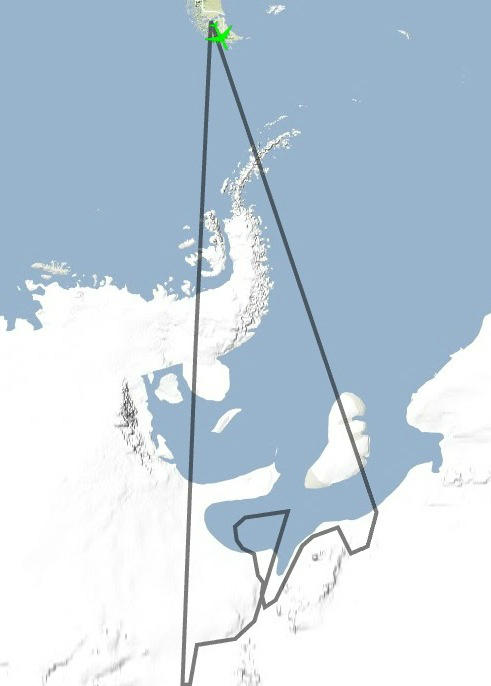
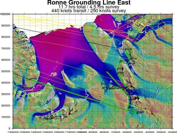
They outlined their flight path:
Flight path for today’s #IceBridge mission, Ronne Grounding Line East. pic.twitter.com/9LVDo2EC
Replete with helpful geographical contextualizers.
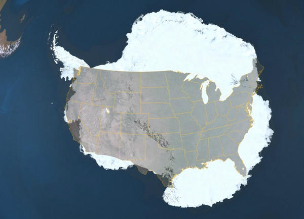
To give you a sense of scale, here’s a US map over Antarctica. Today we’re headed for Montana, roughly. pic.twitter.com/q9g34X13
The NASA scientists discuss the mission at length:
We’ve just turned on all our science instruments to begin collecting data as we approach the Ronne Ice Shelf.
Our target is the Ronne Ice Shelf ‘grounding line’: the area where a glacier disconnects from bedrock & starts flowing into the sea.
We are right now flying over a subglacial lake, taking a close look beneath the ice with radar to confirm what satellites have seen.
Subglacial lakes are the plumbing system of the ice sheet. More info on them will help us understand the behavior of the ice sheet.
During the Q+A, they answered a few questions from followers, including mine:
 brian merchant @bcmerchant 1 Nov 12
@NASA_ICE What observable signs of #climate change might you be looking out for in your Antarctic flight? #asknasa
#asknasa @bcmerchant Signs of climate change we see in Antarctica: changes in height of ice surface, sea ice thickness, snow cover.
And you get a sense of the scenery—they can’t post many pics live, because it turns out that there just isn’t enough bandwith in the middle of Antarctica to upload hi-res photos.
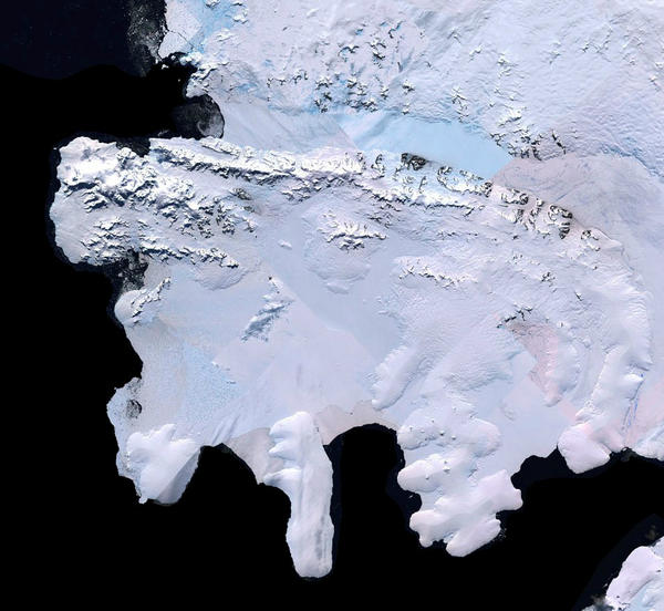
Crossing Alexander Island now. Here’s a satellite view from the Landsat Image Mosaic of Antarctica. pic.twitter.com/wf6RLcat
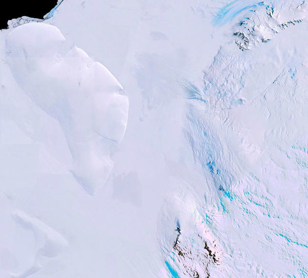
Satellite view of where we are now; that’s big Berkner Island, top left. Landsat Image Mosaic of Antarctica (LIMA) pic.twitter.com/QNfo1bH2
And how’d it all go? Better than expected.
#IceBridge lead scientist: “Good flight. Even got additional high-altitude data on the transit lines over targets of opportunity.”
Another #IceBridge Antarctic flight in the bag! Time to look at new data on the 4hr flight to Chile. Thx for being part of our adventure!
There you have it. An entire arduous Antarctic science expedition laid out, in real-time, in a few hundred characters. Not a bad way to kill an afternoon.
