Tech

Satellite Images Begin to Show Scale of Destruction in Ukraine

Mariupol

Newly released high-quality satellite images show the southern Ukrainian city of Mariupol before and after the recent invasion and bombing campaign by the Russian military.

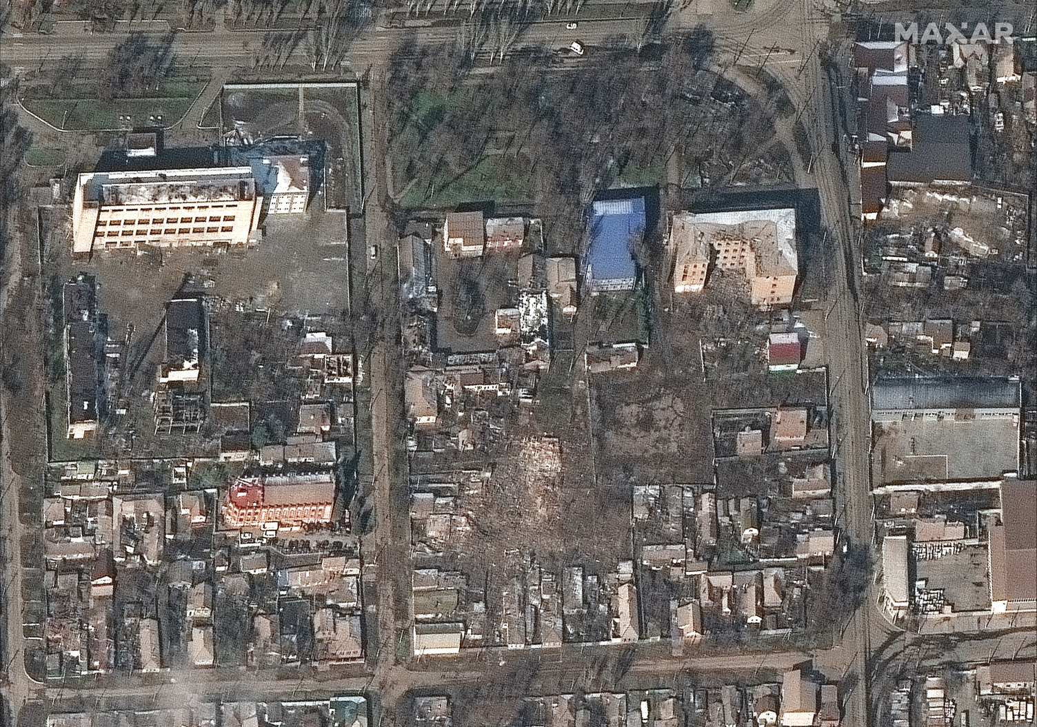
1.jpg
Image: Satellite image ©2022 Maxar Technologies.
2.jpg
Image: Satellite image ©2022 Maxar Technologies.
03_grocerystores and shopping malls_before invasion_western mariupol_ukraine_21june2021_wv2.jpg
Image: Satellite image ©2022 Maxar Technologies.
04_destroyed grocerystores and shopping malls_western mariupol_ukraine_9march2022_wv3.jpg
Image: Satellite image ©2022 Maxar Technologies.
05_portcity shopping mall and other stores_before invasion_western mariupol_ukraine_21june2021_wv2.jpg
Image: Satellite image ©2022 Maxar Technologies.
06_heavily damaged portcity shopping mall and other stores_western mariupol_ukraine_9march2022_wv3.jpg
Image: Satellite image ©2022 Maxar Technologies.
07_homes and buildings_before invasion_eastern mariupol_ukraine_21june2021_wv2.jpg
Image: Satellite image ©2022 Maxar Technologies.
08_destroyed homes and buildings_eastern mariupol_ukraine_9march2022_wv3.jpg
Image: Satellite image ©2022 Maxar Technologies.

Mariupol has been under siege for days, and continues to face an onslaught of artillery fire. On Tuesday Ukrainian authorities said the Russian military also shelled a humanitarian corridor that was designed to let civilians safely evacuate.

Videos by VICE

The images showing the destruction were taken at 10:16 a.m. local time on Wednesday, Stephen Wood, senior director of Maxar News Bureau, said in an email. Later in the day, the Russian military struck a childrens hospital in Mariupol. In a tweet, Ukrainian President Volodymyr Zelenskyy said children were buried under the rubble.